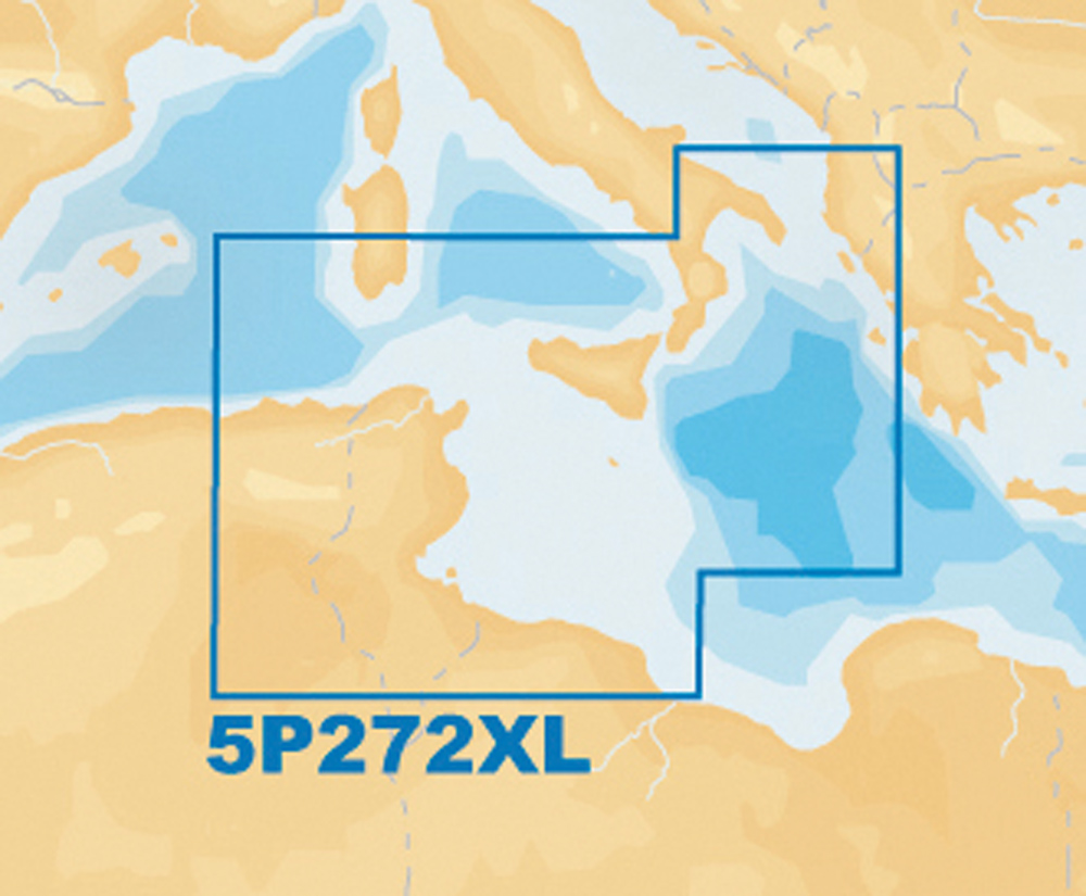
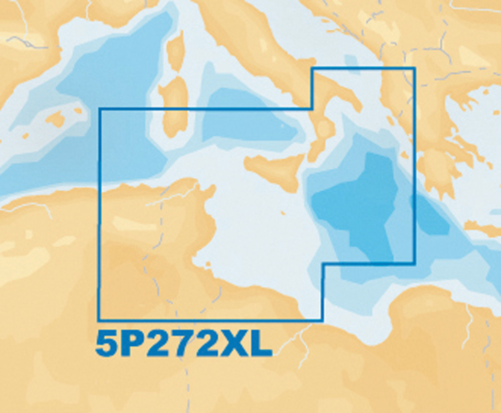
Description
Bathymetric user selectable safety aids to navigation with Xplain ? technology (description of the characteristics of on navigation signals symbols) port services (gas stations moorings repair shops etc… With phone numbers where available) tides and currents. Compatible with NAVPLANNER ? (PC planning software). Besides the features of Navionics+ allow overlap of satellite high-resolution 3D visualization panoramic port photos pilot books geo-referenced the coastal attractions.


Reviews
There are no reviews yet.